


Insights
OUR BLOG
-
3 minsRead more
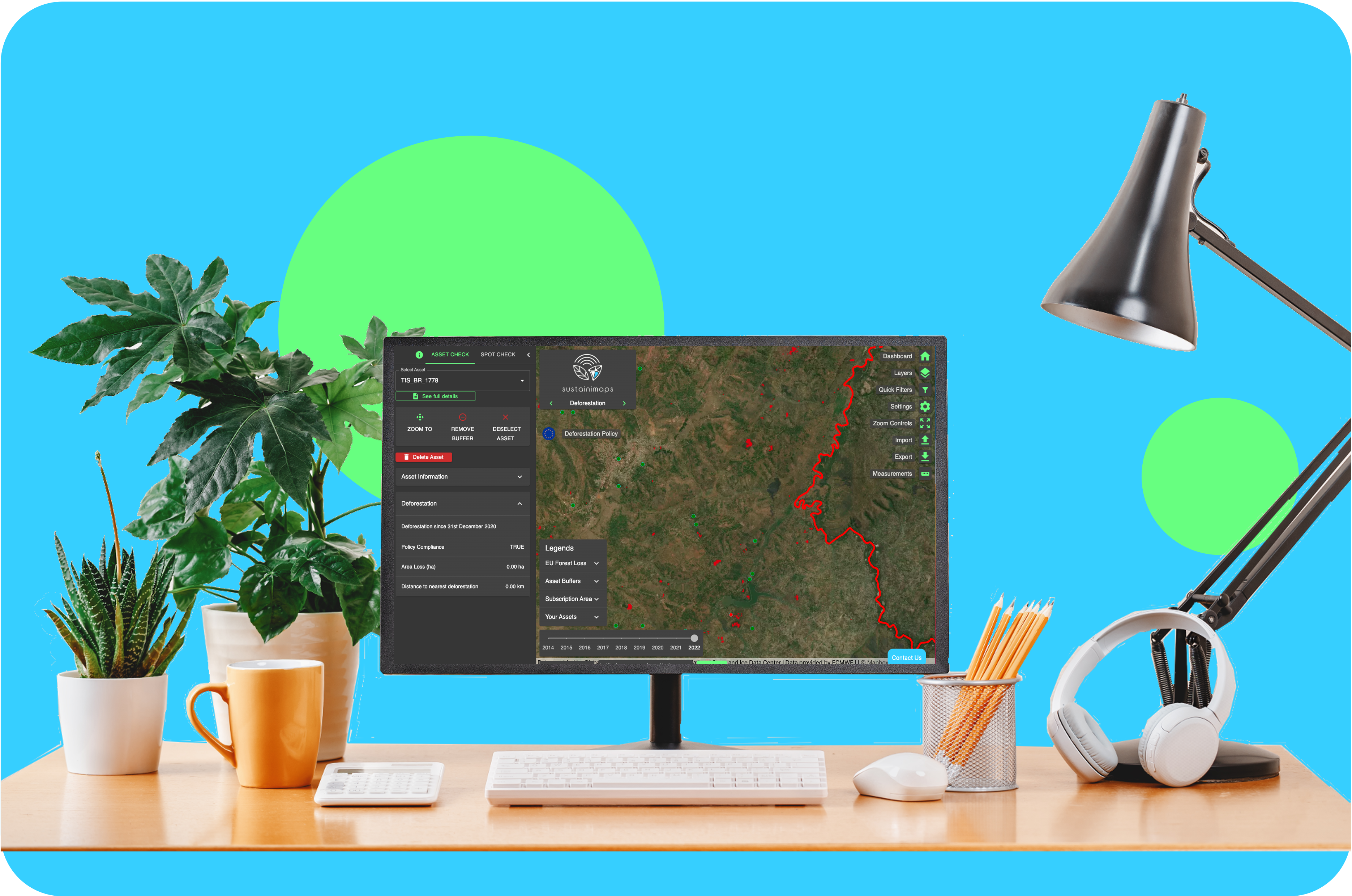
We’re proud to have CoHonducafe among the users of our EUDR compliance tool, Sustainimaps.
As leaders in sustainable coffee production in Honduras, CoHonducafe has been working with us for over a year. They leverage geospatial insights and environmental data to drive their sustainability goals and maintain compliance with EU Deforestation Regulations.


OUR NEWS


CASE STUDIES
-
5 minutes readRead more
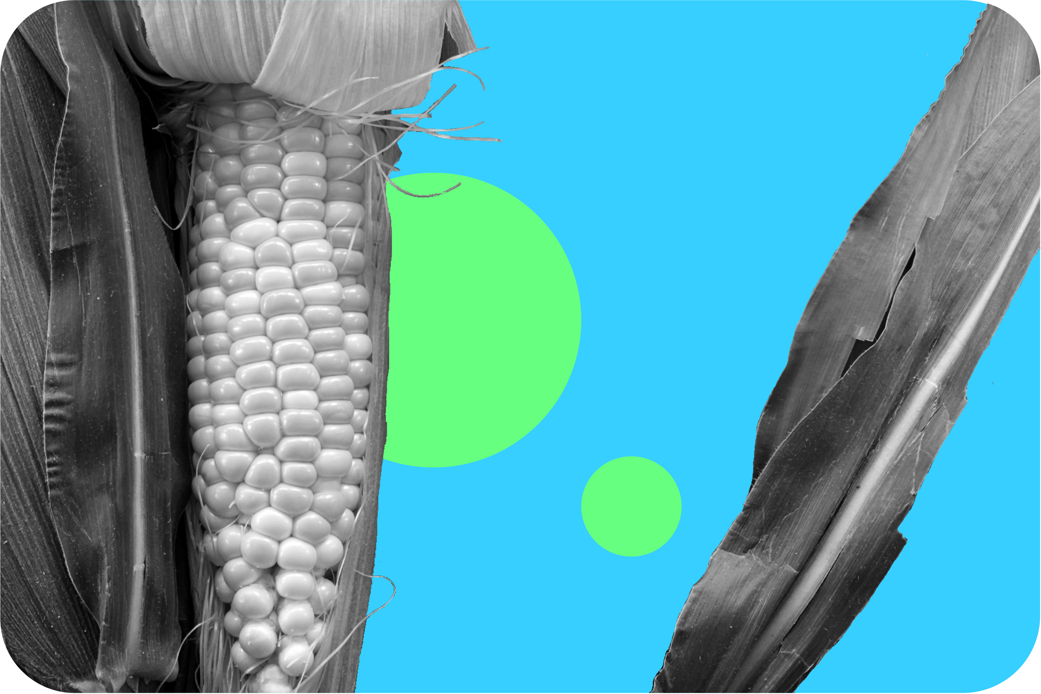
Geospatial Analysis for Assessing Crop Health Risks Due to Climate Change
Sustainable living for everyone on Earth demands an in-depth knowledge of threats that threaten the food chain. Climate change poses particular risks to crops, making them susceptible to pests, diseases and temperature-related challenges. Recognising this urgency, Trade in Space’s analyst team led an innovative project sponsored by Scottish Enterprise in order to assess crop health using advanced data layers and assess risk.


SUBSCRIBE
Don't want to miss a thing? Subscribe to the Trade in Space mailing list to be the first to hear how we’re using satellite intelligence and blockchain technology to make supply chains sustainable, transparent, and traceable.
